GIS Mapping

- June 2014
- GIS, Development
Project Description
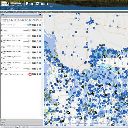
Developed the first version of a GIS based application covering all flood information for Victoria. The system integrates with live water/rain gauge, Bureau of Meteorology and Vicroads data.
-
Skills:
- Design
- HTML/CSS
- Javascript
- ESRI ArcGIS
- Silverlight
- MS SQL
- .NET
-
Client:
State Government


